Man-made earthquakes have sparked a lot of debate lately. This process means intentionally causing an earthquake to learn more about what’s beneath the Earth’s surface or to get resources like oil and gas. But when it involves active volcanoes, the risks of creating these artificial earthquakes are much higher. In this article, we will look at the dangers of causing seismic activity in active volcanoes and why it’s important to be very careful with this practice.
When it comes to active volcanoes, the risks of inducing artificial earthquakes are far greater than in other geological settings. One of the main dangers is triggering a volcanic eruption. Volcanoes are already under immense pressure from the magma chamber beneath them, and inducing seismic activity can destabilize this delicate balance. This could lead to a sudden and violent eruption, putting nearby communities and infrastructure at risk.
Another risk is the potential for triggering landslides and tsunamis. Volcanic slopes are often unstable, and even a small earthquake can cause rockfalls and avalanches that can devastate the surrounding area. In addition, seismic activity near the ocean floor can generate tsunamis that can travel long distances and cause widespread destruction.
Inducing artificial earthquakes on an active volcano can have a significant impact on the environment. The release of gases and ash during a volcanic eruption can pollute the air and water, causing respiratory problems and contaminating local ecosystems. In addition, the destruction of forests and other natural habitats can have long-lasting effects on biodiversity and climate patterns.
Furthermore, the seismic waves generated by artificial earthquakes can disrupt wildlife and marine life, causing mass strandings and habitat destruction. These disruptions can have a ripple effect on entire ecosystems, leading to population declines and even extinctions.
It’s also important to keep an eye on things like earthquakes, gas leaks, and changes in the ground right away.
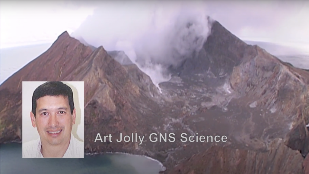
GNS Scientist Art Jolly describes a unique experiment that uses big sandbags and a helicopter to measure seismic wave velocities on White Island Volcano in New Zealand
GNS Science volcanologists recently set up an experiment to test the seismic velocity of the rocks that make up White Island. Over the last few decades, it has been New Zealand’s most active volcano and has produced minor eruptions in recent weeks. (For its present activity status click here.)
Velocities of seismic waves through the Earth can vary considerably because of variations in the density and layout of different rock types.
It is important for scientists to know these subsurface seismic velocities as they are used to calculate the locations of earthquakes under the volcano. These might indicate rising magma and therefore an impending eruption. It is for this reason that volcanic earthquakes are carefully monitored.
For an explanation of how earthquakes can be located see this video, and for a look at White Island’s activity status, including the seismic drum, click here.
There are various ways to generate seismic waves in order to measure velocities, such as by using explosives or air guns. These traditional methods can have environmental, safety or cost drawbacks. So in this case, a GNS Science team, led by volcano seismologist Art Jolly, used a novel method:
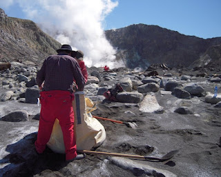
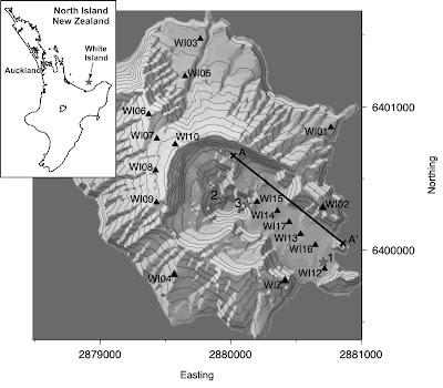
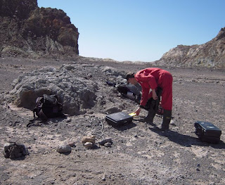
First of all, The team set up 17 temporary seismometers around White Island, with six of those set up in a line across the volcano crater floor to record the shock waves, their travel times (hence velocity) and their intensities.
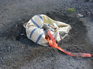
Three large sacks were then filled up with about 700 kgs each of beach sand…
…whilst some of the team laid out large white crosses, held down by rocks or gravel to indicate the target zones for two of the drops. (The third target was the centre of the crater lake).
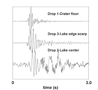
A helicopter was then used to drop the bags of sand from about 400m onto the three target areas.
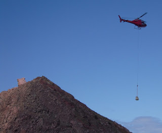
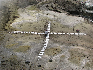
The impacts when they hit the ground (or water) created the seismic waves required. They were also heard from a safe distance as a very loud thwack!
The last image shows the seismic wave traces produced by the three impacts as recorded by the nearest seismometer to each impact. The drops were successfully recorded on the temporary stations giving scientists a new velocity model for White Island earthquake locations.
Future tests might include heavier weights, greater drop heights and different seismometer locations to add more depth and breadth to the velocity model.
Source: Outtherelearning, Youtube
Also Read:

